#XPDCMBD: FIND THE RIGHT PATH SO YOU DON'T GET STUCK
Author: Estradivari (WWF-Indonesia)
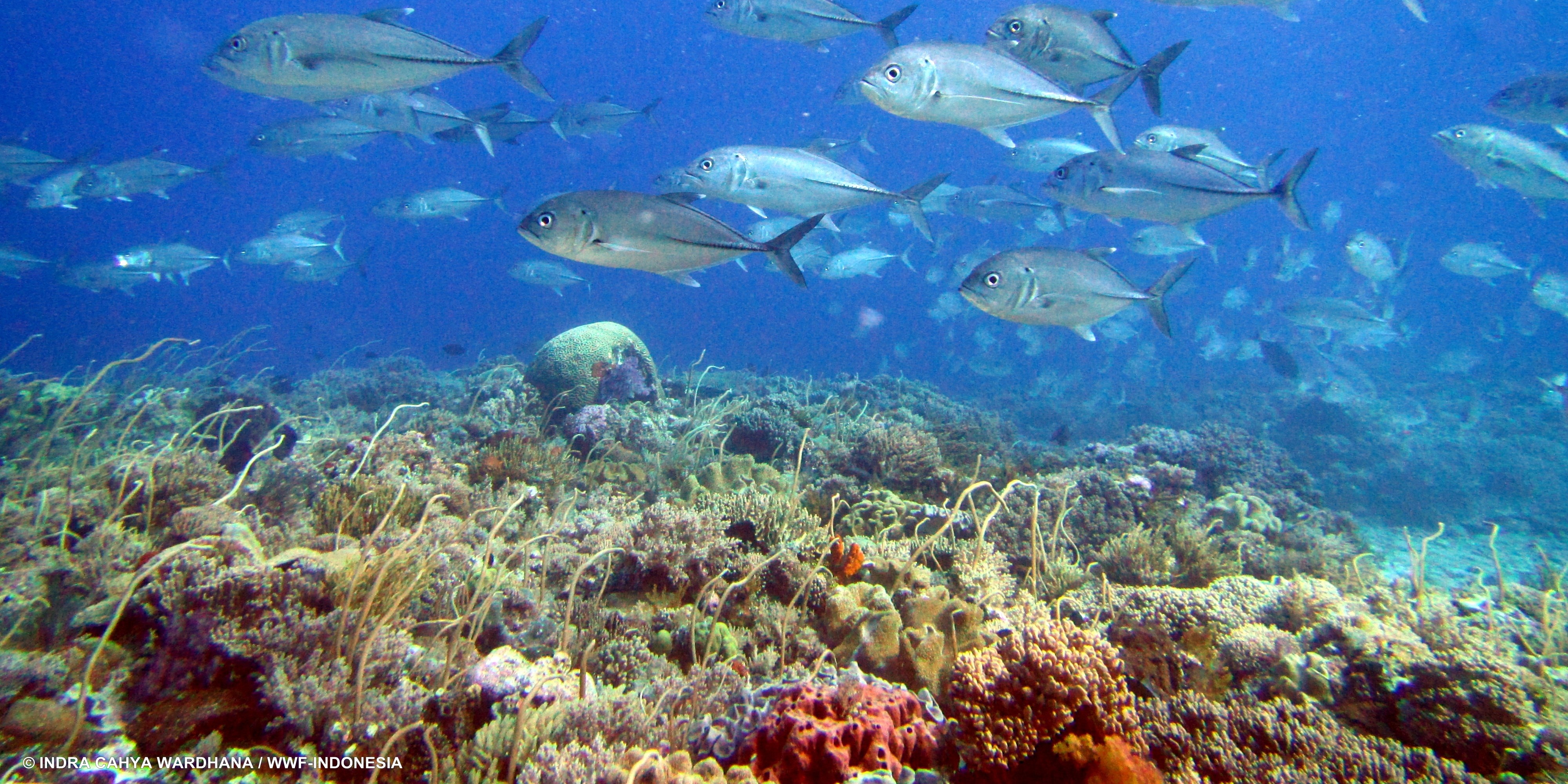
Meatimiarang Atoll and Luang Island were our sixth and seventh stops on this Southwest Maluku Expedition. Although located next to each other, these two places have very different topographical characteristics compared to other areas we visited during the expedition. However, they have two things in common: they only have one small entrance to the lagoon/island and are heavily influenced by the tides.
These relatively high tides affect the pattern of marine resource utilization and the way of life of the communities, both on Meatimiarang Atoll and on Luang Island. For example, when the tide is low, both places, which have very shallow and wide lagoons, will appear wider than when the tide is high. These tidal conditions also affect boat traffic in and out of the inlets, as well as traveling around the islands.
The local people who have lived on these islands for generations are fully adapted to these tidal conditions. They have strong local wisdom about tidal periods and how to navigate their boats to get in and out of the islands without getting stuck even during low tide conditions. Meanwhile, the Southwest Maluku Expedition Land team and Seven Seas crew can only rely on bathymetric maps and current tables produced by the government to determine from where and when it is best to enter the islands.
Rifai, Chief Engineer of Seven Seas, was equipped with a map that had been installed on his cell phone. The map showed the topography of the islands to find a safe way for the speedboat to enter the islands. Although the Land Team and crew were prepared with all sorts of data and information to enter the islands, the actual situation on the ground was a challenge in itself. There were countless experiences of the speedboats getting stuck in very shallow areas of sand and reefs that required the Land Team and crew to go into the water to push the speedboats out of the shallow areas.
Asking local fishermen about how to get in and out of the island ended up being the most potential option. Usually, the fishermen would kindly show us the way. The Land Team's limited time to collect social and fisheries data in the village, which could only be done during high tide, could also be quickly completed with the help of local fishermen. We no longer have to struggle to find the right way to avoid pushing the fast boat out of the shallow area. Thank you, Mr. Fisherman!


