SET OF BRIEFING PAPERS REGARDING "COLLABORATIVE MANAGEMENT OF KMNP"
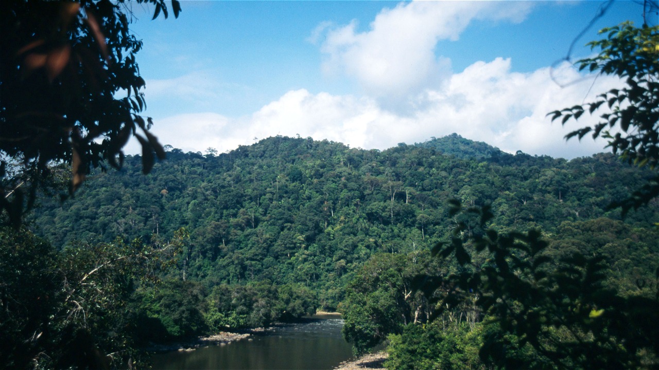
The KMNP is located along the border of East Kalimantan (Indonesia) and the Malaysian States of Sabah and Sarawak. The park is the largest national park on the island of Borneo and covers 1.36 million Hectare. Its territory is divided into 11 traditional or customary land areas (wilayah adat), inhabited by approximately 34,500 people of Dayak origin. The local people have managed these forests since hundreds of years, and developed a rules based area network with utilization and protection measures.
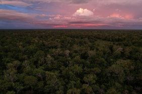
The KMNP, established by the Ministry of Forestry (MoF) in 1996 through Ministrial Decree Number 631/Kpts-II/1996, is embedded in one of the world's most important centres of biodiversity. At least 150 species of mammals are confirmed and more than 300 species of birds have been sighted. There are significant endemic species of fauna and flora. About 70% of the area is located below 1000 m a.s.l. and features dense primary Dipterocarp forests.
Since 2006, Indonesia and Germany cooperate in the development of collaborative management for the Kayan Mentarang National Park (KMNP) in East Kalimantan. The management approach combines ecological and socio economic aspects, and aims at enhanced conservation of natural resources by means of their sustainable, pro-poor and multi-stakeholder based management.
Activities focus on institutional development, participation, livelihood support, boundary and buffer zone demarcation, zonation, park monitoring and financing. The work also contributes to the preparations of the involved districts for REDD programmes. In 2009, the cooperation became part of the FORCLIMEGTZ program (an Indonesian-German technical collaboration on Forests and Climate Change) through its Component 3, Sub component KMNP, which is implemented by WWF Indonesia.
Results and lessons learnt of the cooperation are documented in a set of briefing papers published throughout 2010 in Indonesian and English language.
- Briefing paper 1: Introduction to collaborative management of KMNP
- Briefing paper 2: Collaborative management of KMNP
- Briefing paper 3: The role of the indigenous peoples alliance
- Briefing paper 4: Participatory boundary mapping of the KMNP
- Briefing paper 5: KMNP participatory zoning plan
- Briefing paper 6: Delineation of KMNP buffer zone using GIS
- Briefing paper 7: Participatory Monitoring of KMNP
- Briefing paper 8: Developing sustainable livelihoodalternatives in KMNP
- Briefing paper 9: Sustainable financing
http://assets.wwfid.panda.org/downloads/brief_paper1_introduction_penge…
http://assets.wwfid.panda.org/downloads/brief_paper2_manajemen_kolabora…
http://assets.wwfid.panda.org/downloads/brief_paper3_peran_forum_masy_a…
http://assets.wwfid.panda.org/downloads/brief_paper4_tata_batas_partisi…
http://assets.wwfid.panda.org/downloads/brief_paper5_perencanaan_zonasi…
http://assets.wwfid.panda.org/downloads/brief_paper6_delineasi_buffer_z…
http://assets.wwfid.panda.org/downloads/brief_paper7_monitoring_partisi…
http://assets.wwfid.panda.org/downloads/brief_paper8_livelihood_eng_pdf…
http://assets.wwfid.panda.org/downloads/brief_paper9_pembiayaan_tn_berk…


