BURU ISLAND BECOMES A LEATHERBACK TURTLE NESTING BEACH IN MALUKU
By: Taufik Abdillah (Marine Spatial and Monitoring Officer, Inner Banda Arc Sub-seascape (IBAS), WWF-Indonesia)
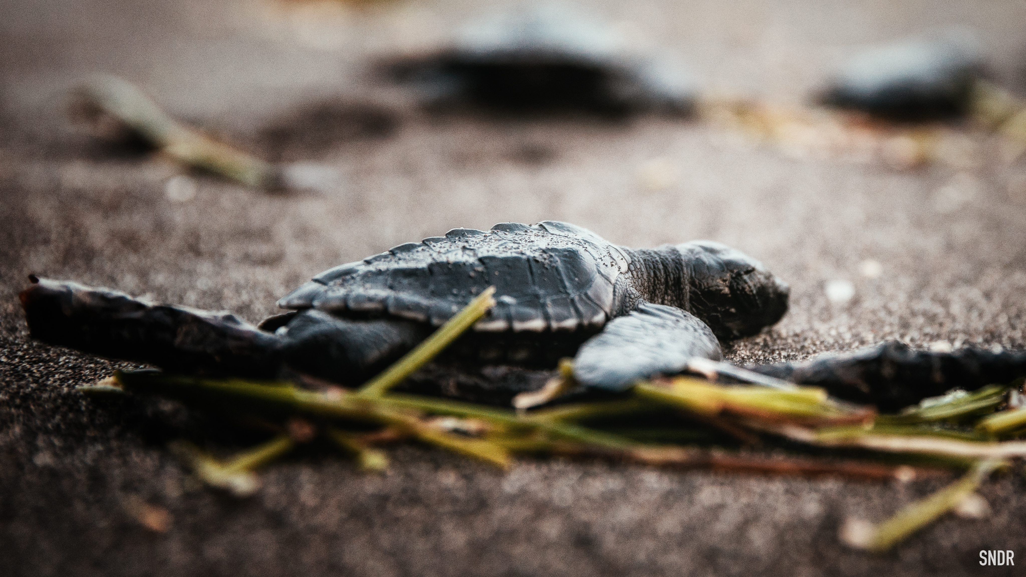
The leatherback turtle (Dermochelys coriacea) is the largest marine turtle - in fact, one of the largest reptiles still alive after hundreds of millions of years. Thanks to the successful conservation of leatherback turtles in the western Atlantic Ocean, the leatherback turtle's current status and protection category on the International Union for Conservation of Nature (IUCN) changed from endangered to vulnerable.
However, the improvement in the status of leatherback turtles in nature cannot be declared safe. In Indonesia, over three decades, the decline of the leatherback turtle population is evident in the declining number of nests on the largest nesting beach for leatherback turtles in Jamursba Medi, West Papua. This left 1,532 nests in 2013, from a total of 14,455 nests recorded in 1984.
This alarming number brought us, WWF-Indonesia, to Buru Island, Buru Regency, one of the largest islands in the Maluku archipelago. Flanked by the Seram Sea to the north and the Banda Sea to the south, the waters of Buru Island are the route of the leatherback turtle.
This was indicated by the data of leatherback turtle tracking at Jamursba Medi Beach by WWF Indonesia and NOA (National Oceanic and Atmospheric Administration) in 2003. The Banda and Seram Seas are indeed important places for the migration routes of protected marine species, such as marine mammals (whales and dolphins) and sea turtles.
The beaches in the north of Buru Island are also nesting sites for leatherback turtles. This is what brought us to Buru Island - apart from of course the ferry from Ambon to Namlea Harbor - to conduct a quick survey of turtle nesting sites on the island.
From December 6-15, 2016, we visited five villages spread across two sub-districts: Waprea and Waiputih (Waplau sub-district), Waspait, Wamlana, and Wainibe (Fena Leisela sub-district). This Sigi (survey) is specifically aimed at obtaining baseline data related to nesting beaches, threats from sea turtle poaching and trade, distribution of important species, and preliminary data on the profile of fisheries bycatch (bycatch).
To do so, I was not alone. We, two people from WWF-Indonesia, were accompanied by local facilitators in each village. Sigi this early stage turtle nesting beach using an extensive form sigi that has been input into the Akvo Flow app installed on Android hardware.
An extensive sigi was conducted to obtain baseline data in a limited extent on a stretch of coast that was decided as the index coast. We walked the coastline of five observation villages on Buru Island in the morning, afternoon and evening. The total length of the beach in these five villages was 13.7 km. Waprea beach is 0.9 km long, Waeputih is 2.2 km long, Waenibe is 4.1 km long, and Waspait to Wamlana is 6.5 km long. While the width of the fifth beach ranges from 10 - 38 meters.
Any findings during extensive scouting along the coastline - such as tracks, nests, tracks and nests, as well as turtles climbing to lay their eggs - we recorded in the Akvo Flow app.
"Not only salawaku (leatherback turtles) lay their eggs here, sir. Olive Ridley and Hawksbill turtles, too!"
It is the testimonies of these residents that help us in analyzing the results of extensive nesting - a total of 85 turtle nests along the beaches of Wainibe, Waspait, and Wamlana villages.


