TRAINED, PREPPED, AND READY TO SAIL
By : Nara Wisesa
In these last two days, the expedition team has spent time in Kalabahi on the Island of Alor getting ready for the ecological monitoring expedition. Fourteen members of the monitoring team came together for a workshop to ensure that their monitoring skills are up-to-scratch, and that everyone fully understands the reef monitoring protocol that we will be using. The WWF team, who is in charge of arranging this expedition, also used these two days to finalize all the preparation details before we get on the boat.
This is a diverse team with a wealth of experience, which will contribute to the success of the expedition. We bring together a monitoring team from 5 different institutions: WWF-Indonesia, Wildlife Conservation Society, DKP (Marine Affairs and Fisheries Office) from Alor district and East Flores Districts, and a representative from the Ministry of Marine Affairs and Fisheries. Our large field team would allow us to monitor two different data sampling sites at the same time.
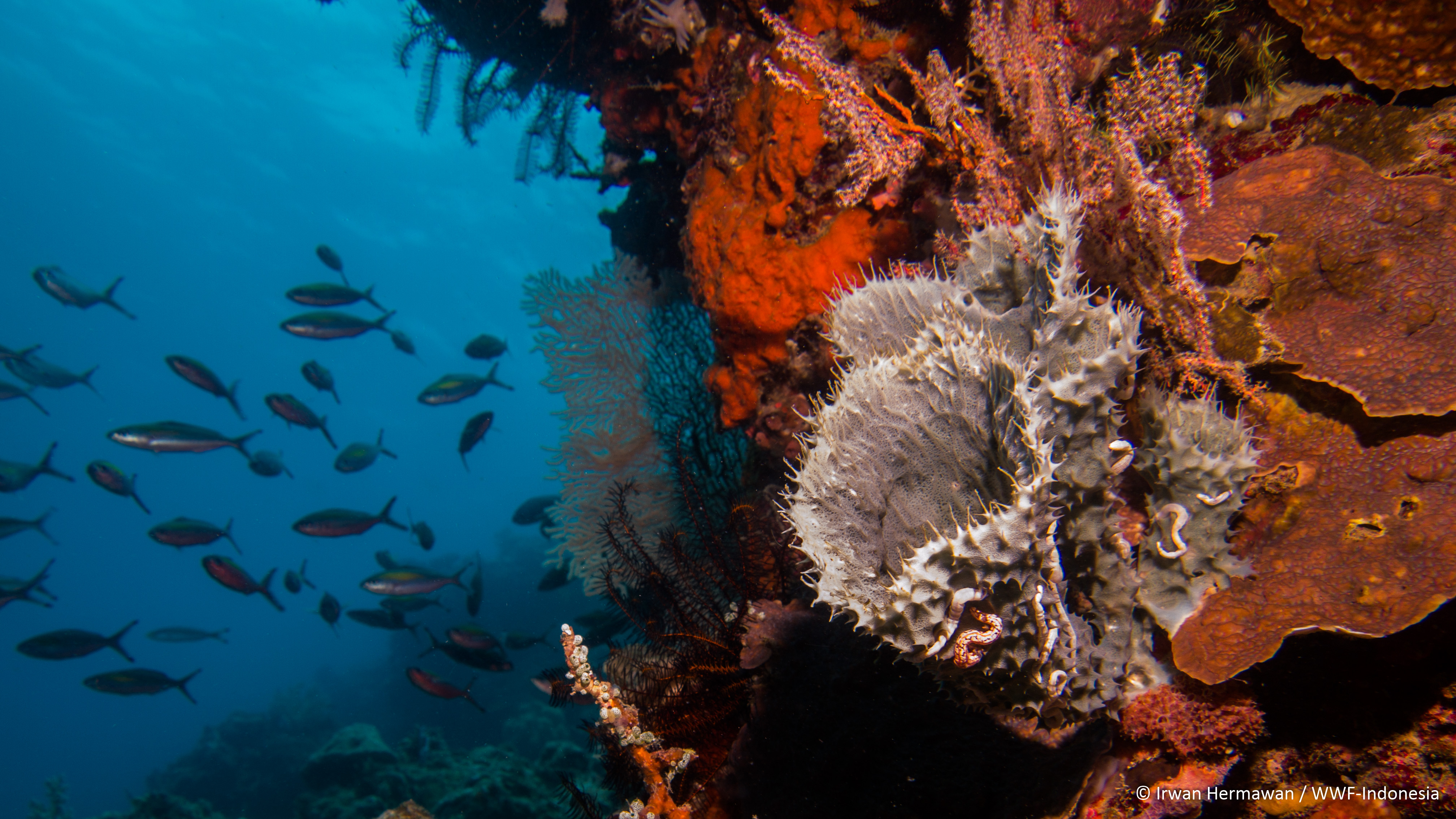
In this expedition we will be focusing on two main components of coral reef ecosystems, which are: the benthic composition (the bottom substrate of the coral reef) and the reef fish community. In order to do this, each sampling team has two fish surveyors, and two benthic surveyors. The surveyors will also be supported by roll-masters who is in charge of laying the survey transect (a line which is to be surveyed) as well as act as buddies for the surveyors. The benthic survey will be done at two depths (3 meters and 10 meters), while the fish survey will only be done at 10 meters depth. This is because the wave action at the 3 meters depth will probably limit the presence of fish communities. To make things easier for the fish surveyors, one of them would only survey small-sized fishes, while the other will only survey large fishes.
The benthic surveyors partake in a refresher quiz to jog their memory of all the different benthic life-forms that they are going to survey. The fish surveyors also had refresher quizzes, one was on the different fish species in the area, and the other is to remind them on howto estimate fish lengths. Both groups had to take quizzes to ensure they were up to standard. In addition, all the other participants also partake in these quizzes, as part of the capacity building process that is another goal for this expedition.
There is also a lot of preparation going inin addition from the survey teampreparations. For example, there were lots of discussions on the survey design, data management, as well as sampling site and route planning, which involved generating a map of the survey route, luckily we have a GIS-whiz in our team!
All the equipment has now been checked and loaded into our research vessel, the KM. FRS Menami. Aside from SCUBA gears, we also need to make sure that we have all other equipment that would be needed for monitoring. Everything from GPS’s to take waypoints of the points, cameras to take photos of the sampling sites, underwater papers to collect data, down to making sure that we have enough pencils to collect data as those always seem to get lost!
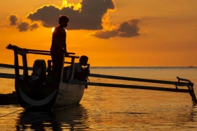
The FRS Menami itself is WWF-Indonesia’s research vessel which is usually based in Wakatobi, however, it has sailed down to Alor to carry us during this expedition. The ship reached Alor yesterday evening, and we finally got on the boat this afternoon.Everyone’s faces immediately lit up after seeing this amazing ship, and as it dawns to us that now, the expedition is real!
And now, as I sit on the aft of Menami, looking at the moonlit bay of Kalabahi, it all seems surreal, and I can’t believe that tomorrow we finally are setting sail tomorrow morning and start our expedition!