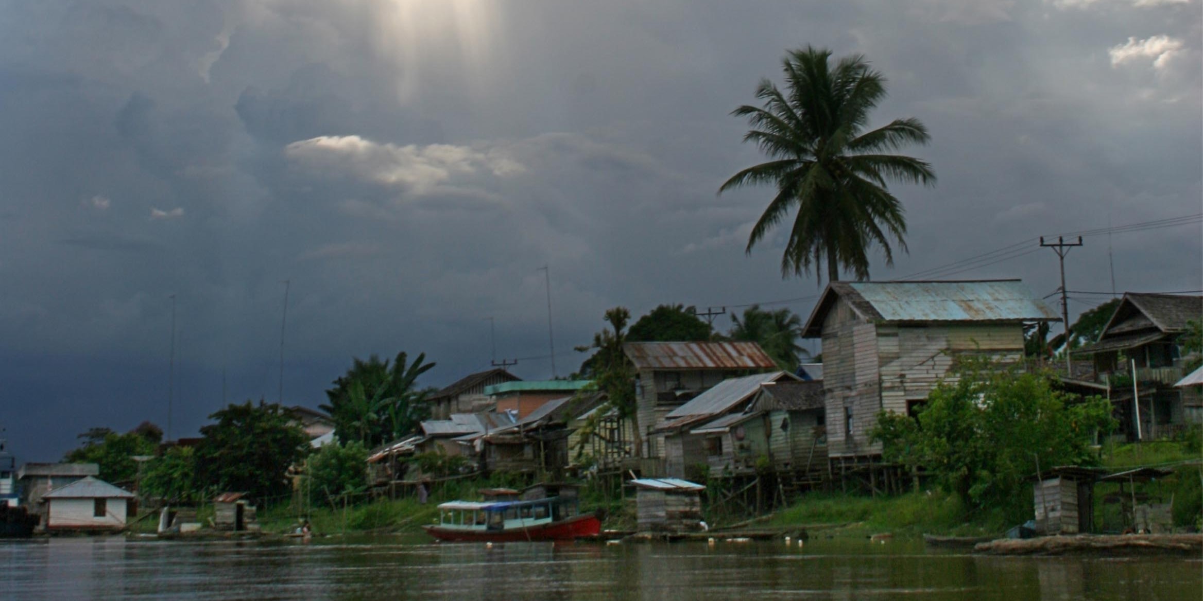
UPSTREAM DEGRADATION CAUSES FLOODING
Putussibau, Kompas - Environmental degradation in the upper reaches of the Kapuas River is one of the causes of floods that inundate a number of areas of Putussibau, the capital of Kapuas Hulu, West Kalimantan. Flooding in Putussibau has occurred almost every year since 2007.
World Wide Fund for Nature (WWF) Indonesia's Putussibau office staff member, Yudiati Puspitasari Vivin, contacted from Pontianak on Tuesday (24/8), said that some forest areas in the upper Kapuas River were damaged due to farming activities. Flooding due to the overflow of the Kapuas River is one of the causes of flooding in Putussibau.
Flooding caused by the overflowing Kapuas River has begun to recede. However, Ahmad Dogom Road and Kapuas Hulu Regency Government housing around the road are still submerged. On Tuesday afternoon, the inundation at the housing complex was still chest high.
Flooding in Putussibau is also caused by geographical factors. Hulu Kapuas River is hilly, while Putussibau City is low-lying.
Head of the Public Relations Section of the Kapuas Hulu Regency Government Jantau said that office activities began to normalize on Tuesday. The flooding from the upstream of the Kapuas River is hilly, while Putussibau City is low-lying.
Flooding from the upper Kapuas River can easily occur in Putussibau, especially if it rains for a long time. This is because the tributaries of the Kapuas River, namely the Mendalam River and the Sibau River, empty into Putussibau.
Lebak rice field
Although it has entered the end of August, waterlogging in rice fields in South Kalimantan Province is still quite high. As a result, many farmers have not been able to plant rice.
Short planting time risks crop failure because rice plants will be submerged in the next rainy season. Moreover, the Meteorology, Climatology and Geophysics Agency predicts that the 2010 rainy season will come in October.
Head of the Agriculture, Food Crops and Horticulture Office of South Kalimantan Sriyono said on Tuesday that only 30 percent of the total 90,000 hectares of rice fields in South Kalimantan have been planted. "Almost all the rice fields have been planted.
"Almost all lebak rice fields have been planted, but the percentage of planting is small. This year there is almost no dry season, the land that is flooded is difficult to plant," he said. The age of the rice that has been planted varies.
The age of the rice that has been planted varies between one week to harvest. Rice paddies that are now approaching harvest were generally planted in April-May. Sriyono said that the rice paddies that have not yet been planted vary from one week to one week.
Sriyono stated that the weather conditions are not too bad.
Sriyono said this year's weather conditions were unpredictable. In fact, in the planting season period from October to March, which was continued last April-May, there was an additional planting area of 70,000 hectares. "We do not know how much rice production will be.
"We don't know how much rice production this year. Areas that have harvested in January-April 2010 have produced 380,000 tons. Last year, South Kalimantan's milled dry grain production was 1.956 million tons, up slightly from the previous year's 1.954 million tons," he said.
Submerged in water
Meet separately, Head of the Emergency Section of the South Kalimantan Regional Disaster Management Agency Akhmad Arifin said, so far there are no areas in South Kalimantan that are submerged in water. The last submergence occurred in the third week of July, namely in Tanah Bumbu, Tanah Laut, and Kota Baru districts.
Agricultural lands in South Kalimantan were hit by floods last March-April. Based on data from the South Kalimantan Regional Disaster Management Agency, the area of flooded rice fields reached 6,600 hectares. Sriyono said the provincial government provided 60 tons of rice seeds for three districts, namely Tapin, Tanah Bumbu, and Banjar. (AHA/WER)


