PANGGAYO TO KOON, MALUKU
By Barnabas Wurlianty
Maluku coastal inhabitants tradition are very close to marine activities, long before motor propellers installed on their boats. They constantly move places to places (in their local language, this is called as panggayo). Maluku coastal people realizes that their land area is only 10% from the total of Maluku coverage, reaches almost 4 times the total area of Java for approximately 580 square kilometres. The rest of the area are filled with water that enriched with high potential values. Panggayo means ‘mendayung’ in Bahasa and ‘to row’ in English, is a local wisdom and the locals adaptation toward their surrounding landscape to keep them survive.
90% total water area of Maluku Province, that means about 530,000 square kilometres large. While the land area is divided into 559 of big and small islands of total 54 square kilometres. Although the water area dominates the province landscape, yet the marine exploration is quite low. The export numbers prove that only USD 2.7 million from USD 12.9 million of the province’s total export value during January – October 2011. The little number comes from the fisheries, mostly fish and shrimps, which covers only 20% from the total export percentage. The high value of fishery potency, still, can not be optimized for the better result.
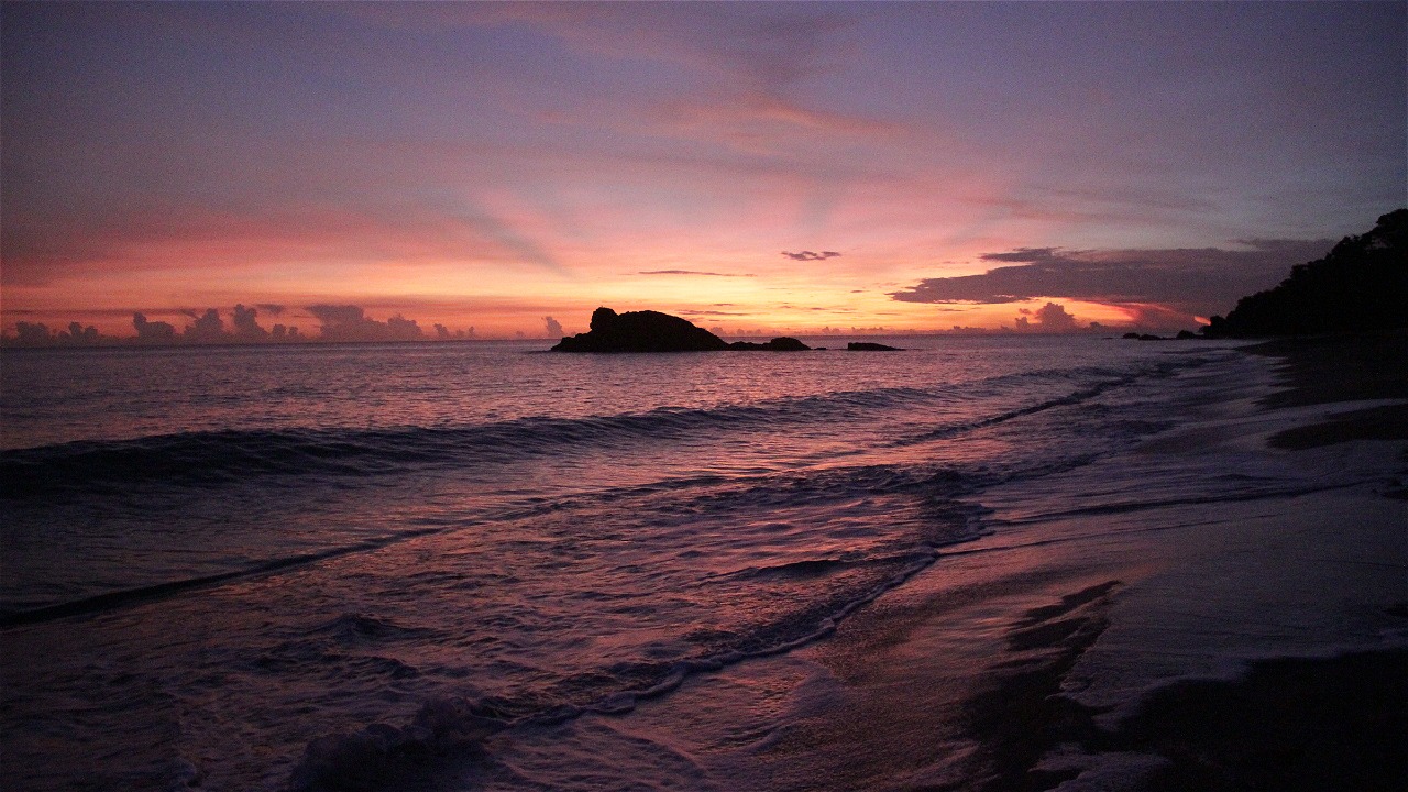
One of the most valuable fishery potency at Maluku water area is located on the Koon Island surroundings. Koon is a small island located at the east-south bound of Seram Island, right before Banda Sea. The area is one of the most important area for coral fish breeding, which categorized into high value fishery comodity. According to WWF survey, by comparing with other fishery breeding area in eastern Indonesia, Koon area is projected to be the biggest coral fish breeding spot in eastern Indonesia.
At the time being, the locals which led by a tribe chief and stake holders at Koon, to mention Raja Kataloka, Bapak Ansar Wattimena, Kepala Dusun Grogos, Bapak Udin Rakhmat, are on their patrol to protect the area. This area protection movement is urgently important, and this even directly supervised by Raja Kataloka using an ultimatum on May 24 2011 at Grogos; boldly stated, “Like it or not, Koon should be protected for the sake of our next generation”. Meanwhile, Grogos’ Kepala Dusun hold the command as the patrol supervisor which up to this moment, it consists only 2 members.
The responsibility is not that easy, they have to deal with the abundantly ignorant local fishermen, who conduct illegal fishing at Koon area. But, the educational process are being done constantly, yet relatively slow. The next task is to promote Koon Island area as a core zone for local and international tourists, who frequently passes the area on a cruise ship on their way to Raja Ampat. It also expected that patrol officers conduct some additional task to take notes and survey on every activity details performed in the area. The details include the catch numbers, tourists, and cruise ships that pass or stay on the area, and other needed details.
Koon’s local inhabitants do the panggayo (to row) as their daily routines, including protecting the area. They understand that the ocean and everything in it is a bless that should be protected for the next generation, starting from now. By performing local wisdom, not to mention by Gorom Kingdom, also the endless support by East Seram authority which establishes Koon Island as conservation area with SK (Regent Decree) 523/189/Kep/2011 dated August 1st, 2011, hopefully eastern Indonesian fishery can still reach its glory to contribute the industry with sustainable act, especially in Maluku Province. The works by the team here fully endorsed by WWF-Netherland and Walton Family Foundation.
Contact(s):
1. Koon Program WWF Project Coordinator: Barnabas Wurlianty - bwurlianty(at)wwf.or.id
2. WWF Fisheries Program Coordinator: Abdullah Habibi - ahabibi(at)wwf.or.id


