MAPPING INDONESIA’S LEADING PLANTATION COMMODITIES BY WWF AND PARTNERS
Plantation commodities are among the key contributors to Indonesia’s state revenue and foreign exchange earnings. In the 2022/2023 period, plantation exports reached USD 42.03 million, while the plantation sub-sector also recorded a Gross Domestic Product (GDP) growth of 1.64%.
According to data from the Indonesian Central Statistics Agency (BPS) and the Ministry of Trade (Kemendag), four out of ten of Indonesia's leading export commodities come from the plantation sector: coffee, palm oil, rubber, and cacao. These four commodities cover a vast total area—over one million hectares. However, to date, only palm oil has publicly available spatial data, which was officially released through the Agriculture Minister’s Decree Number 833 of 2019 (Surat Keputusan Menteri Pertanian Nomor 833 Tahun 2019). The other three—coffee, rubber, and cacao—are currently only available in tabular data formats.
Given the plantation sector’s strategic importance to Indonesia, the development and availability of spatial data are essential. WWF-Indonesia and other civil society organizations believe that building a comprehensive spatial data system is urgently needed. This shared understanding forms the foundation for conducting commodity mapping research using various methodologies.
Picture 1. FGD on Plantation Commodity Mapping Methodology Development
WWF-Indonesia has partnered with the Mitra Gautama Indonesia (MGI) and the Faculty of Geography, Universitas Gadjah Mada (UGM) to conduct mapping studies of leading commodities including coffee, palm oil, cocoa, and rubber plantations. The process began with a Focus Group Discussion (FGD) held in early 2024 in Yogyakarta. The objective of this event was to gather insights and input from experts and practitioners regarding commodity mapping methods, thereby strengthening the research foundation and informing the upcoming mapping efforts.
The FGD featured expert speakers, including Prof. Projo Danoedoro from UGM’s Faculty of Geography, Dr. Masita Dwi Mandini Manessa from the Department of Geography, Faculty of Mathematics and Natural Sciences (FMIPA), Universitas Indonesia (UI), and Dr. Yudhi Setiawan from the Faculty of Forestry, IPB University. The event also attracted online participation from a diverse group of stakeholders, including representatives from academia, civil society organizations, government agencies, and plantation business associations.
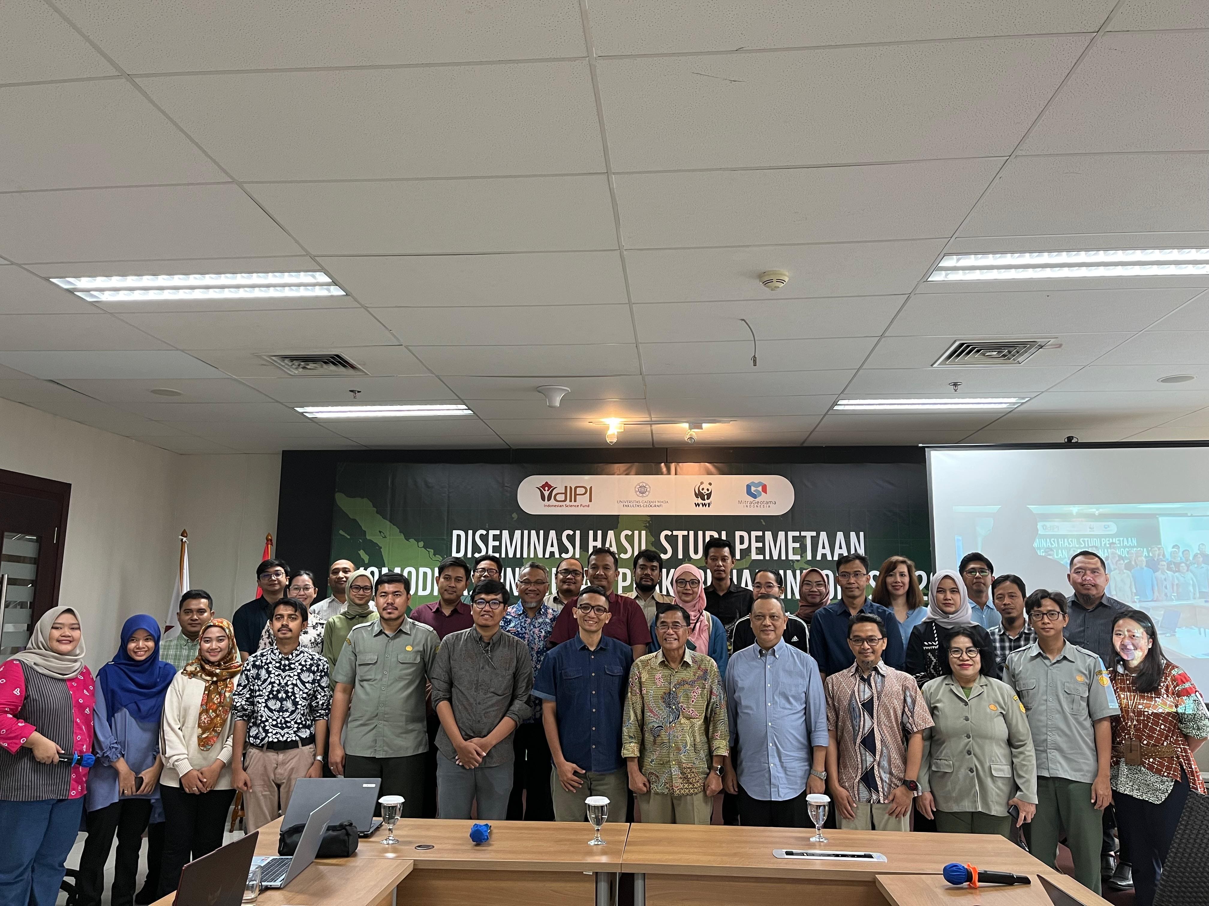
The commodity mapping process took approximately 11 months to complete. The results were shared during a dissemination and public consultation event in December 2024, held in collaboration with the Indonesian Science Fund (DIPI). A total of 69 participants attended the event, representing academia, government institutions, development partners, civil society organizations, and business associations. The forum served as a platform to present findings, gather feedback, and identify potential follow-up actions to refine and enhance the study.
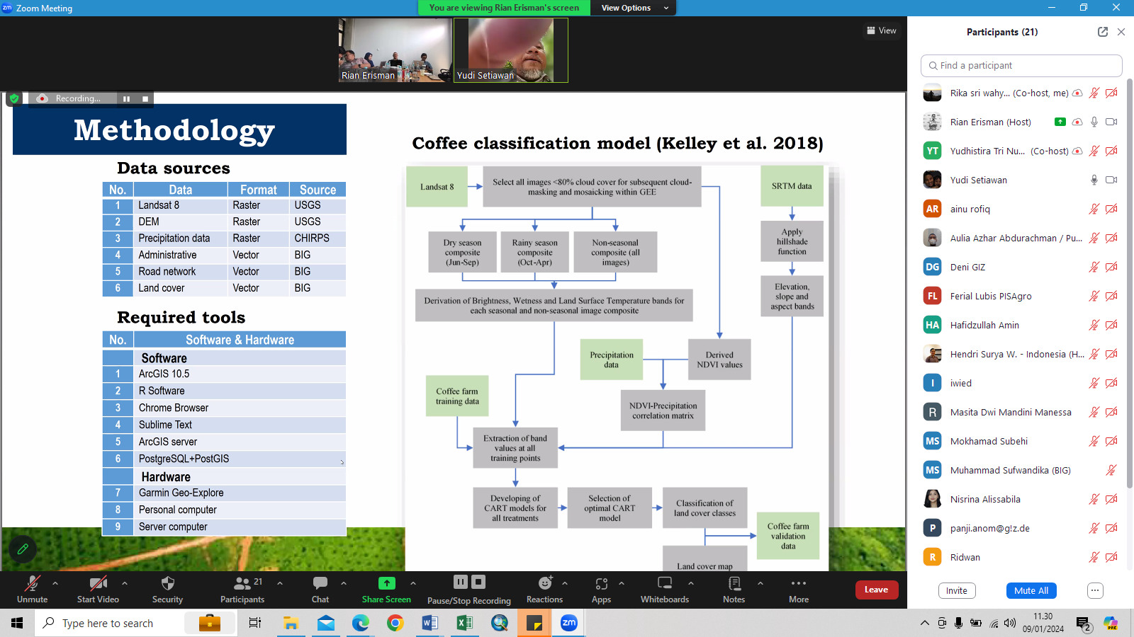
The presentation began with Yudhistira Nurtheisa, who explained the mapping methodology used in the study. He shared visuals of the mapped areas, including satellite imagery of the targeted commodities, and addressed the challenges encountered during the mapping process and how they were resolved.
WWF-Indonesia’s Sustainable Palm Oil Specialist, Adhitya Adhyaksa, followed with a deeper analysis of the commodity data and potential applications of the mapping results. These included use as a preliminary reference for commodity distribution, a tool to support productivity improvements, an aid in accelerating e-STDB (Smallholder Registration) facilitation, and a resource for other spatial data-driven analyses.
In addition to the main presenters, WWF-Indonesia invited several discussants from diverse backgrounds to provide further insights. These included Prof. Projo Danoedoro from Universitas Gadjah Mada as a scientific and technical expert, Harris Siregar from the Directorate General of the Ministry of Agriculture representing the government sector, and Insan Syafaad from PISAgro representing the business association perspective
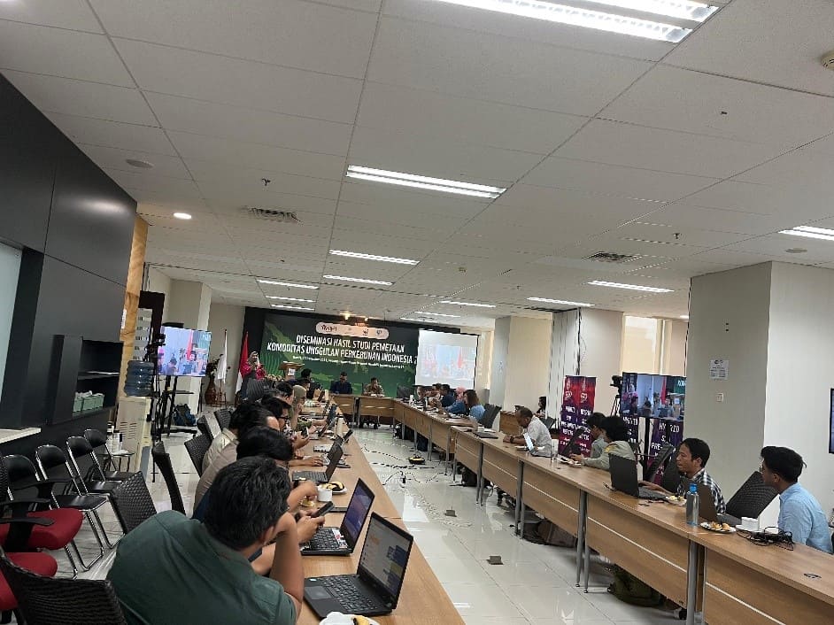
Picture 2. Dissemination and Public Consultation Process of the Commodity Mapping Study Results
To support the implementation of sustainable palm oil practices, commodity mapping is a critical foundational step. In particular, for palm oil, spatial data can be leveraged to support various national initiatives such as the Indonesia Sustainable Palm Oil (ISPO) certification, smallholder palm oil replanting programs, and the issuance of Cultivation Registration Certificates (STDB). Additionally, spatial mapping plays a vital role in safeguarding biodiversity in areas surrounding plantations.
These efforts help ensure that the plantation sector minimizes its negative impacts on both nature and human communities. As more stakeholders engage in the mapping process, the resulting data will enrich existing references, foster collaboration, and enable data reconciliation. This, in turn, will strengthen the baseline information on the distribution of plantation commodities across Indonesia, enhance the development of the plantation sector, and promote sustainability across all related industries

Picture 3. Dissemination and Public Consultation of the Plantation Commodity Mapping Study Results