YAMDENA EXPEDITION: ENCOURAGING THE ACCELERATION OF MARINE PROTECTED AREA DESIGNATION IN WEST SOUTHEAST MALUKU DISTRICT
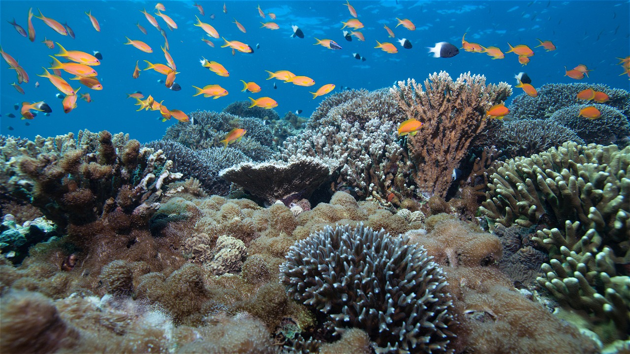
Saumlaki, West Maluku Tengggara - On November 1-12, 2017, WWF-Indonesia in collaboration with the Wildlife Conservation Society (WCS) led a coral reef ecosystem health monitoring expedition in the waters of Yamdena Island, West Southeast Maluku. This expedition is a periodic monitoring of the changing status and health of coral reef ecosystems as a reference for the formulation of the zoning plan for the Coastal and Small Islands Conservation Area (KKP3K) of West Southeast Maluku Regency, Maluku Province.
"This expedition is a tactical effort to accelerate the establishment of the KKP3K of West Southeast Maluku Regency. So, the establishment can provide sustainable ecological and economic benefits through the right zoning plan and the best management strategy," said Imam Musthofa, Sunda Banda Seascape and Fisheries Leader, WWF-Indonesia.
The Yamdena Expedition Team consists of 12 personnel from the West Southeast Maluku Marine and Fisheries Service (DKP), the Indonesian Institute of Sciences (LIPI), and Pattimura University (Unpatti) will collect data at 25 observation points scattered inside and outside the KKP3K of West Southeast Maluku Regency.
The KKP3K of West Southeast Maluku Regency has been reserved through Decree of the Regent of West Southeast Maluku Number 523-246 - Year 2016 with an area of 783,806 hectares. With this area, West Maluku Tenggara District has the largest marine protected area, which is 73 percent of the total area of marine protected areas in Maluku Province which has an area of 1,073,331.22 hectares. The results of the analysis in the KKP3K of West Maluku Tenggara District also show a high value of fish seed linkage between areas (larval connectivity). This means that this location can increase the abundance and biomass of fish in the surrounding waters through the supply of fish fry (Handayani et. al., 2016).
Its newly reserved status makes monitoring coral reef health necessary to ensure future management of this conservation area can support marine biodiversity and fisheries improvements, as well as maintain coastal ecosystems. "The latest information and data from the expedition is important for efforts to designate this area, which is targeted for 2018," Imam added.
The West Southeast Maluku MPA3K is part of the Sunda Banda Seascape, which is part of the World Coral Triangle. Monitoring by WCS in 2014 revealed low encounters of target fish species in Yamdena Island waters. This indicates the phenomenon of overfishing in these waters (Setiawan, et. al., 2014).
-o0o-
Editor's Note:
- Photos and plans of the 25 points of the Yamdena Expedition can be downloaded through the link: http://bit.ly/xpdcyamdena
- Maluku Province has 11 marine conservation areas that have been reserved or designated, with a total area of 1,073,331.22 hectares. This amounts to 7.5% of the total area of MPAs in Indonesia which currently reaches 17,980,000 hectares. The marine conservation areas are as follows.
1. Southeast Aru Islands MPA
2. Marsegu Island Marine Nature Park 2.
3. Pombo Island Marine Nature Park 3.
4. Banda Sea Marine Nature Park MPA 4.
5. Baeer Island Tourism Park MPA in Duroa Hamlet 5.
6. Lease Islands KKP3K
7. KKP3K of West Southeast Maluku Regency 7.
8. Marine Protected Area MPA of Southeast Maluku Regency 8.
9. Marine Protected Area MPA of East Seram Regency 9.
10. MPA of Ay Island-Rhun Island, Banda Sub-district
11. Kasa Island Wildlife Sanctuary
For more information, please contact:
- Estradivari
National Coordinator for Marine Conservation Science, WWF-Indonesia
Email: estradivari@wwf.id; Phone: +62 812 9541624
- Andreas Hero Ohoiulun
Inner Banda Arc Subseascape (IBAS) Project Leader, WWF-Indonesia
Email: aohoiulun@wwf.id; Phone: +62 812 1951-4198


