INITIAL STEPS FOR MONITORING ORANGUTAN NEST DECAY RATES IN KAPUAS HULU
By: Dewi Puspita and Masayu Y. Vinanda
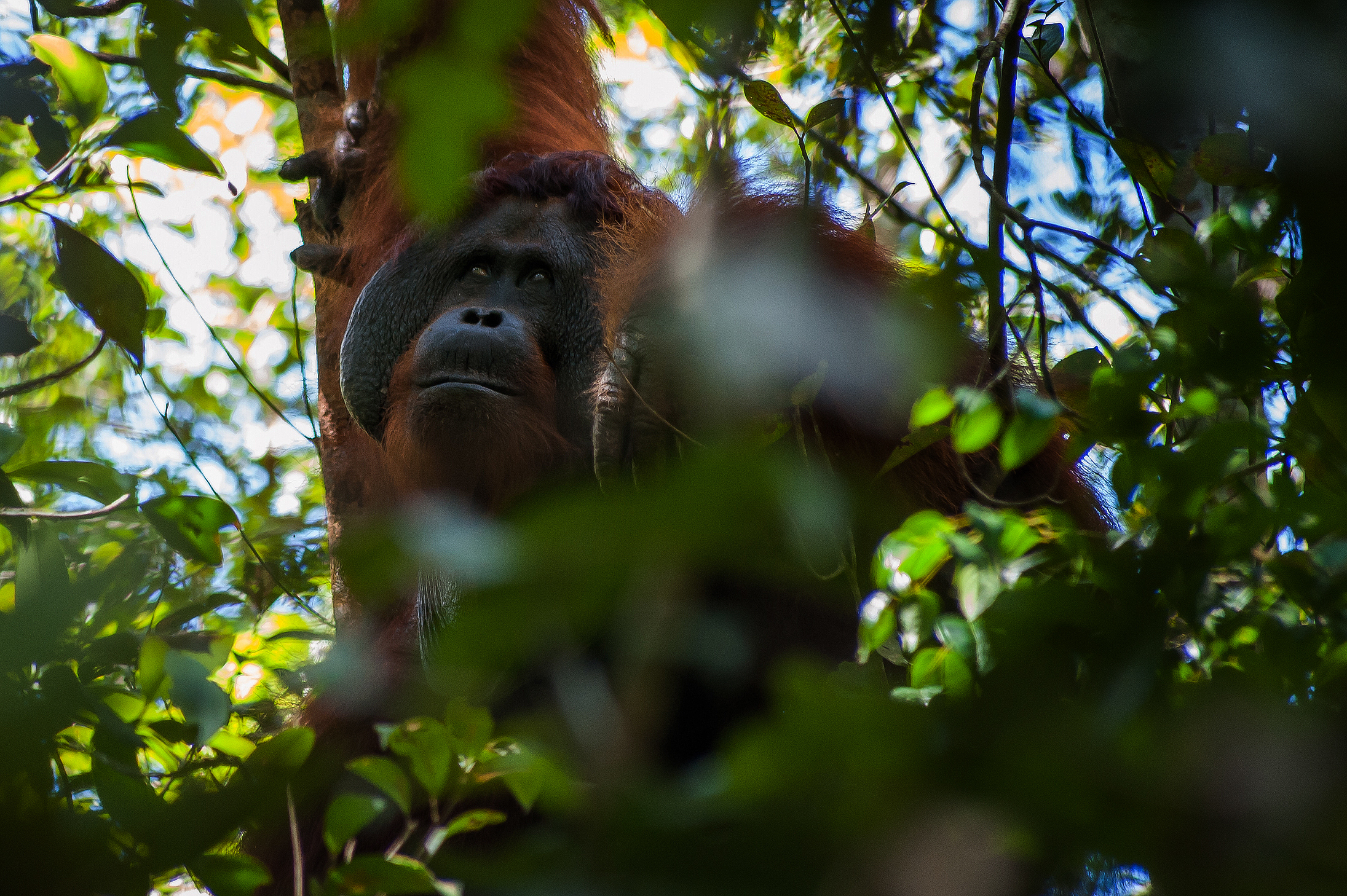
Kapuas Hulu (09/08)-As a first step in monitoring orangutan nest decay rates in Kapuas Hulu district, West Kalimantan, WWF mapped the location of nest decay rates in two protected wildlife habitats, Melemba Village and Teluk Aur Village. This activity is carried out to obtain the area that can be used properly for 1 year. This area was ensured to be free from human activities such as land clearing or land conversion. The location was also identified as a home range for orangutans.
After the area data is obtained, the next step is to create a location map, in which there are several transects that will be used to monitor the rate of orangutan nest decay every month for 1 year.
Viewing Hill, Melemba Village, Meliau Hamlet
On July 8, 2011, the mapping team arrived at Peninjau Hill, Melemba Village, Meliau Hamlet, the first mapping location. The mapping team consisted of two teams of 5 people each consisting of 2 guides, 1 surveyor, 1 community leader who understood the boundaries, and 1 representative from WWF.
"Bukit Peninjau was chosen as one of the monitoring locations for orangutan nest decay rates because this location is one of the orangutan habitats and can represent the lowland habitat found in Kapuas Hulu Regency," explained Project Leader WWF Kapuas Hulu Office, Albertus Tjiu.
From the results of this mapping, it was found that the total area of Peninjau Hill reached 225 hectares. From this area, it is estimated that 4 transects can be made with a length of 1 km each. These 4 transects will later be used as permanent transects to monitor the rate of orangutan nest decay and fruit trail for 1 year.
"The monitoring data of orangutan nest decay rate will be used to identify the length of time it takes for orangutan nests to disintegrate in the lowlan habitat. This figure will also be used to calculate the population density of orangutans in Kapuas Hulu Regency in the same habitat. Meanwhile, the fruit trail data is important to see the movement of the fruit season so that it will be able to predict the movement of orangutans in the area," Albert added.
Keturun Abadi Protected Forest, Teluk Aur Village
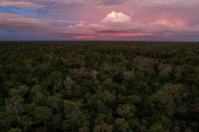
Meanwhile, to obtain similar data in a representative swamp habitat, a mapping activity of the location of orangutan nest decay rates was carried out in the Keturun Abadi Protected Forest, Teluk Aur Village.
On July 12, 2011, the mapping of this location has been done by 3 separate teams where each team consists of 3 people. Team 1 started mapping from the right side of the river, team 2 started mapping from the left side of the river and team 3 was tasked with marking small rivers within the area. This was done to make it easier to determine the location of transects that would be made later because considering this location is a swamp location that can be submerged throughout the year or submerged for six months.
From the results of the mapping in both locations, the next step will be to monitor the rate of orangutan nest decay in both habitats for 1 year.
