NOTE #XPDCMBD: LUANG ISLAND
Author: Nara Wisesa (WWF-Indonesia)
East Luang Village
On the morning of the ninth day of activities, Kris (DKP Maluku Barat Daya) had already spoken with the Regional Technical Implementation Unit (UPTD) of Luang Timur Village Fisheries to ask for help in contacting and informing the Village Head (Kades) of Luang Timur about the visit of the #XPDCMBD Team.
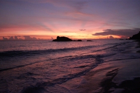
Luang Island is an island surrounded by a large low tide or 'meti' and covered by high coral heads, making it quite difficult for the fast boats boarded by the Land Team to find an 'entry point' to the village beach, especially when the team departed in the morning, low tide conditions. Given the difficulty of access, if the team waited for high tide, it could be that when the team finished their activities, the water was already in low tide again.
Based on information obtained from fishermen from West Luang Village who were met the day before at Meatimiarang Atoll, the 'entrance' to Luang Island is north of the island. While searching for the 'entrance', the speedboat that the Land Team boarded several times almost ran aground on a coral head. Luckily, the team finally met a fisherman who showed them the 'entrance' used by residents to enter the village.
Arriving at the front of Luang Timur Village, because the water was still low, the team still had to walk several hundred meters from the water's edge to the village gate. The 'meti' or coastal substrate in front of the village is muddy sand and seagrass beds. In the mud, there were many fiddler crabs (fiddler crab). There are also many boats owned by villagers and places where seaweed is dried. It turns out that in the 'meti' area, before reaching the village, there are also many ropes where seaweed is cultivated. A large sailfish or marlin statue at the gate of Luang Timur Village also welcomed the arrival of the Land Team.
The team was welcomed by the acting village head, who had already begun gathering the residents of Luang Timur Village. The residents who were gathered turned out to be quite a lot. Because today (9/11) the Land Team had 'extra' members, namely Estra and Tiela from WWF-Indonesia, the team decided to conduct two focus group discussions simultaneously.
After the data collection, the Land Team was escorted around by the villagers and visited the Fisheries Vocational School at the end of the village. The team was then treated to lunch and (thank God) received souvenirs of salted fish and dried octopus.
The residents of Luang Timur Village seem to be quite prosperous and enjoying their lives as seaweed farmers. The seaweed cultivated in Luang, based on Niar's (IPB) identification, is the kotoni type (Euchema cottonii). Since seaweed has become the village's main commodity, fishermen have been catching more fish for their daily meals. The barren soil conditions do not allow villagers to do gardening and farming, not to mention the very limited supply of fresh water in Luang Timur. Water is only obtained from three springs (parigi) on the hill whose discharge decreases during the dry season.
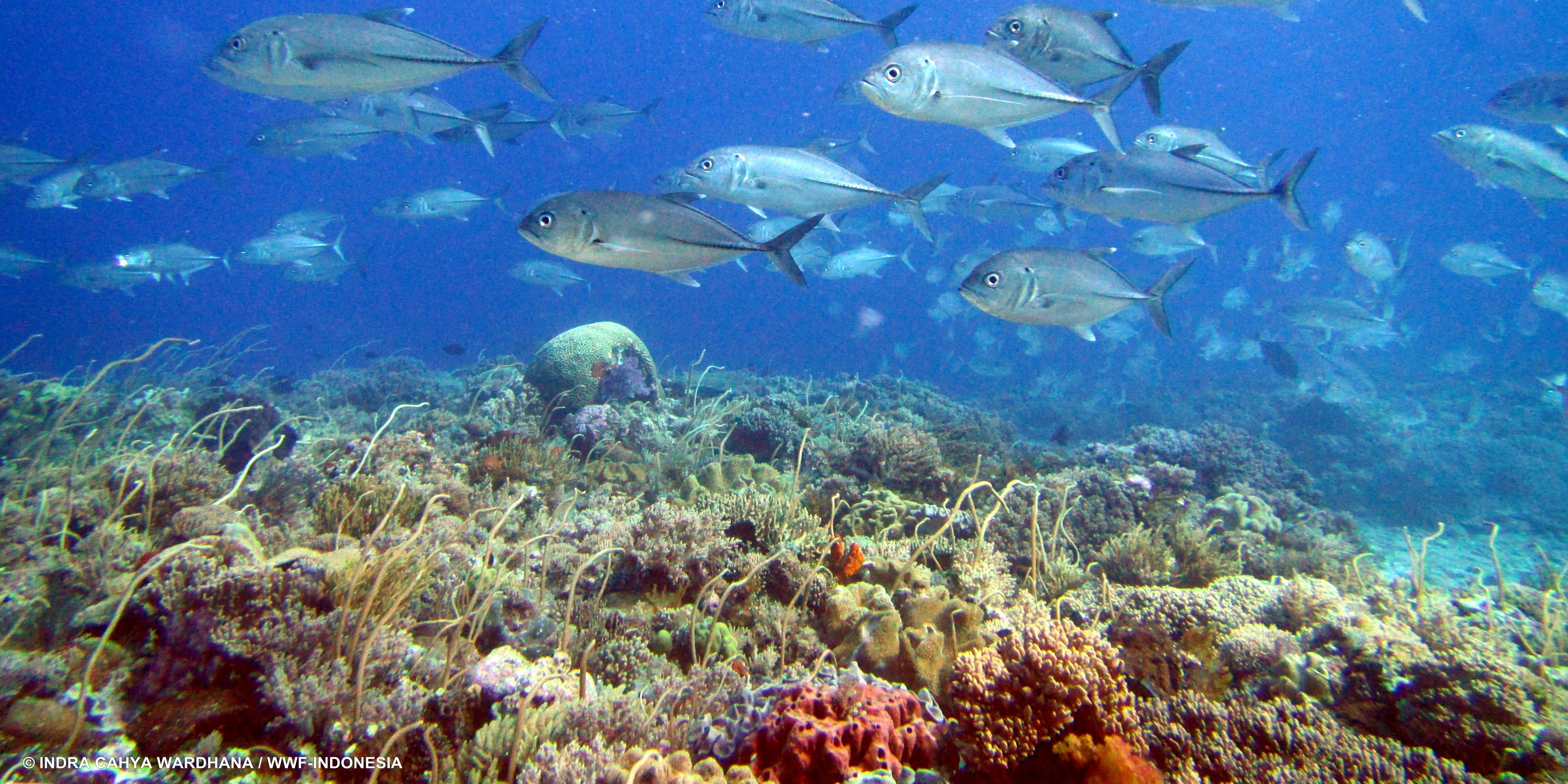
Unlike the fishermen in the previous villages who catch pelagic fish, the fishermen of Luang Timur Village prioritize reef fish as the main target. They catch these fish in the coral heads and shoals around the 'meti' area of Luang Island. However, since seaweed cultivation in the village has become more advanced, many fishermen have switched to seaweed cultivation. In fact, since Southwest Maluku Regency was formed, there has been an increase in the number of fish buyers in the area, including buyers from outside Southwest Maluku.
Another unfortunate thing about this village is that there are no refrigeration facilities to store fresh fish. The fishing gear used is also still fishing rods; simple nets; and arrows, because the FADs and bobo nets that were used by residents were destroyed during the west wind season.
The geological condition of Luang Island is actually quite interesting and unique when compared to other islands. Don't imagine a powdery white sandy beach. The beach here is muddy with large rocky stones on the hill. Very adventurous, isn't it? The presence of agate (gemstones) and ironstone (magnetite) indicates that this island is not a coral island raised from the seabed. The characteristics encountered are more in line with an island that has tectonic (uplifted part of a plate) or volcanic (a former volcano/sea mount that protruded from the seabed, but is now dead) origins.
Belt 48 and Belt 49 passenger ships stopped at Luang. But as the 'methi' conditions did not allow the ship to dock, it only stopped in the middle of the sea. The passengers who boarded/disembarked were transported using a community motor boat.
The people of Luang refused to become the center of Mdona Hyera Sub-district for fear of over-exploitation of their marine resources. Not only that, they also rejected the construction of a port/dock/jetty in the 'meti' area because they felt it would damage the environment. However, there was a discourse to build a floating jetty using pontoons outside the 'meti' area.
The main commodities included in the sasi list in the 'methi' area in this region are lola and sea cucumber. Sasi is usually closed for 2-3 years. Back in the 1970s, it was sufficient to close sasi for 6-12 months, but now the yield has decreased so the sasi period has been extended. Meanwhile, up to 800 tons of seaweed can be produced in a year and sold to buyers, the majority of whom come from Makassar.