SIMPLIFY INFORMATION CENTER THROUGH SBS ATLAS
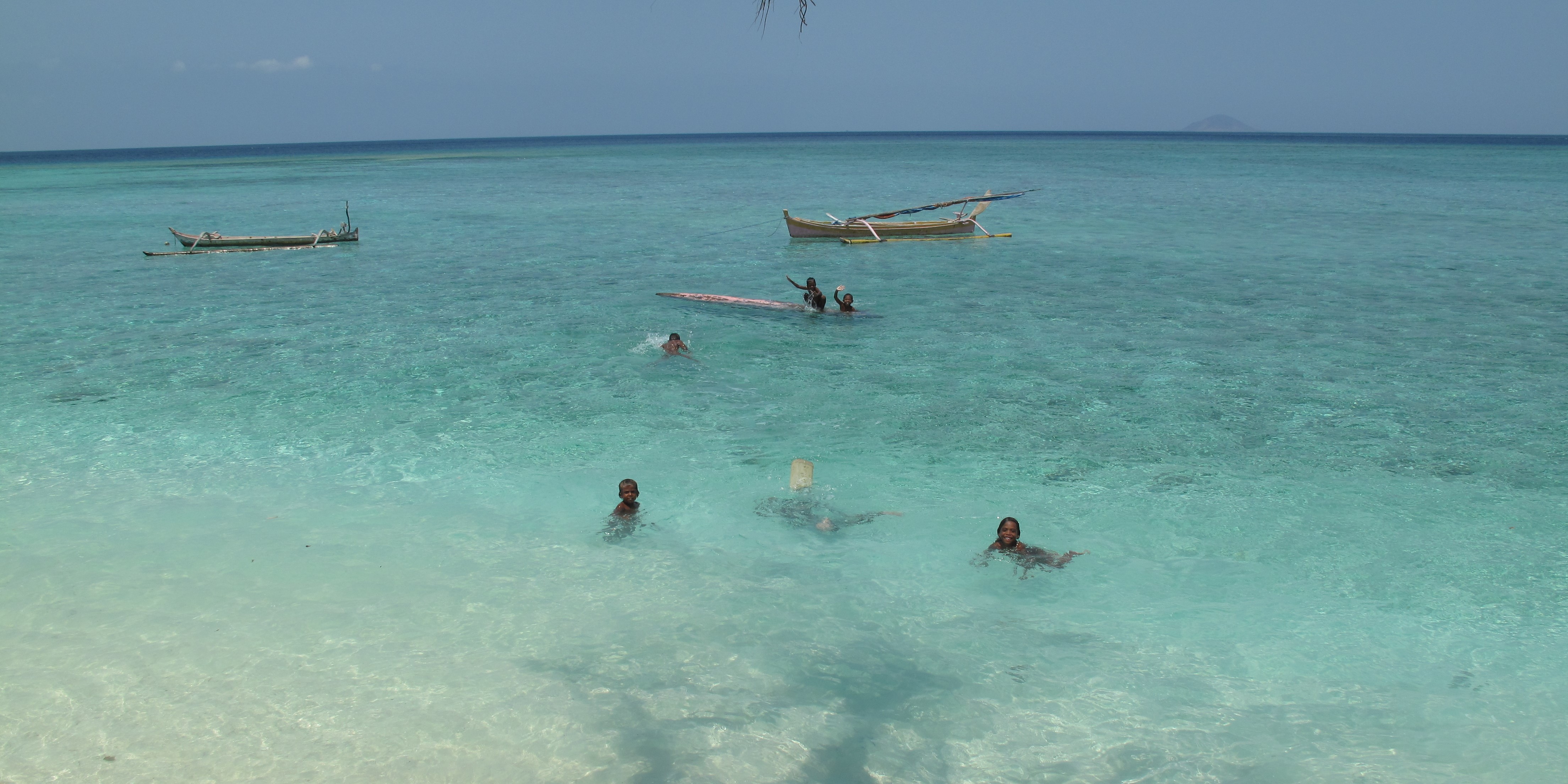
Sunda Banda Sescape - SBS, stretches from Bali, Nusa Tenggara, Southeast Maluku, Kupang to the Southern part of Sulawesi island with an area of approximately 151.3 million ha. This area is home to several protected species, such as cetaceans, sharks, and fishes of high economic value such as Napoleon fish (Cheilinus undulatus) as well as a feeding habitat for leatherback turtles (Dermochelys coriacea), but is unfortunately threatened by various activities that damage the environment.
Non-governmental organizations working in the SBS region or outside the SBS, even government agencies do not have the same data on species and other natural resources in the Sunda Banda Seascape region. This prompted WWF-Indonesia to create an atlas for SBS (SBS Atlas) to gather all data owned by various parties.
The SBS Atlas was developed with WWF-US and the World Fish Center to disseminate data that has been collected and presented in a spatial form that can be accessed by anyone easily. It was officially launched on February 26, 2015 at the Sunda Banda Seascape Multi-Stakeholder Meeting.
Through the http://sbsatlas.reefbase.org/ page, various information can be accessed and downloaded, such as, the boundaries of the SBS area and three sub-seascapes (Inner Banda, Lesser Sunda and Southern-Eastern Sulawesi), ecological data (seagrass habitat, mangroves, coral reefs, several important and threatened fish species), oceanographic information (chlorophyll a distribution, currents, salinity, etc.), social information (demographics and utilization patterns), species information (fish populations, turtle migration paths, and marine mammal sightings), and fisheries (referring to EAFM indicators).
The presence of this SBS Atlas is expected to motivate the spirit of data sharing between institutions and become a data pool to facilitate this spirit. Along with the increase in conservation efforts due to the establishment of the SBS area as a conservation priority area, a data pool system like this facilitates access to information, avoids overlapping data, and ultimately supports the development of future conservation efforts in the SBS area.
The information available in this SBS Atlas is expected to be used as a reference for further analysis or studies. This SBS Atlas is a living atlas that can and will be updated every one year in line with the development of information collected.
Author: Amkieltiela (Marine Science and Knowledge Management Officer)


