FIRST STEP TO STRENGTHEN SPATIAL PLANNING FOR MARINE PROTECTED AREA DESIGN
Author: Christian Handayani (Marine Spatial Planning and Monitoring Senior Officer, WWF-Indonesia)
Many cities and villages in Indonesia are located in coastal areas, making them strategic locations as centers of development and marine resource utilization activities. Spatial allocation arrangements in coastal and marine areas that consider environmental aspects are absolutely necessary. This is important to ensure that environmental pressures that occur can be controlled without causing negative impacts on coastal ecosystems.
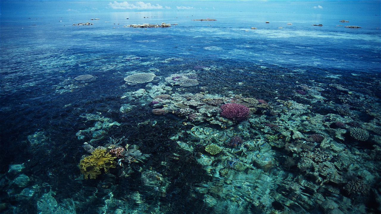
One of the keys to successful marine spatial planning is ensuring the effective allocation of protected areas. Protected areas, referred to as Marine Protected Areas (MPAs), serve to protect key coastal habitats and marine biodiversity. Not only that, MPAs are also a source of larvae and fish stocks for the surrounding area.
Currently, the Ministry is working to establish 2.7 million hectares of new MPAs in Indonesia in order to achieve the target of 20 million hectares of MPAs by 2020. It takes a lot of expertise and the latest science to design MPAs in Indonesia. Of course, in order to provide protection benefits for marine biodiversity and sustainable fisheries benefits.
Seeing this opportunity, WWF-Indonesia in collaboration with the University of Queensland held a training with the theme "Spatial Planning for Marine Protected Area Design in Indonesia: Challenges and Opportunities for Improvement", in Bali, September 14-21, 2016.
The objective of the training was to increase the capacity of participants in designing more optimized MPAs in Indonesia based on the latest science. In this training, WWF-Indonesia introduced some modeling regarding fish larval connectivity and core zone size.
This modeling will answer two key questions in designing MPAs. First, where is the best location of Marine Protected Areas (MPAs) and core zones that can support biodiversity, sustainable fisheries, or both Second, what is the minimum size of the core zone for MPAs to function optimally? This modeling is the first in Indonesia that is very easy to use by various groups, and can be adapted to various MPA management targets.
The training activities involved some of the world's leading trainers, namely Prof. Peter Mumby (expert on coral reef ecology, fisheries, and remote sensing); Prof. Hugh Possingham (expert on decision-making theory in biological conservation as well as the idea behind the development of Marxan); Dr. Nils Krueck (expert on fisheries population dynamics and genetics); and Dr. Eric Treml (expert on global larval connectivity modeling).
This activity was attended by 35 participants who were representatives from the Ministry of Maritime Affairs and Fisheries Jakarta (Directorate of PRL and KKHL), BPSPL Makassar, BPSPL Denpasar, DKP Selayar, Hasanudin University Makassar, Halu Oleo University Kendari, Pattimura University Ambon, University of Papua Manokwari, Khairun University Ternate, TNC, CI, CTC, WCS, Yayasan Reef Check Indonesia, Yayasan TERANGI, and WWF-Indonesia. The learning method used in this workshop is a public lecture combined with discussion and practice in groups.
During the eight-day workshop, all participants learned and discussed strategies to optimize MPA design by integrating larval connectivity modeling. The goal is to ensure that MPAs benefit sustainable fisheries in the long term. They also learned how to make decisions related to marine spatial planning in a structured manner.
Not only that, the participants in the group also practiced various modeling exercises and the use of Marxan and Zonae Cogito software, and discussed various case studies. The enthusiasm of the participants in absorbing new knowledge in this training is commendable. After this, of course, we look forward to further commitments for better MPA design in Indonesia.


